ESA’s Sentinel-3B captured extreme land and sea temperatures during Europe’s record-setting summer, while agency director Simonetta Cheli points to satellite data as a tool for understanding heat.
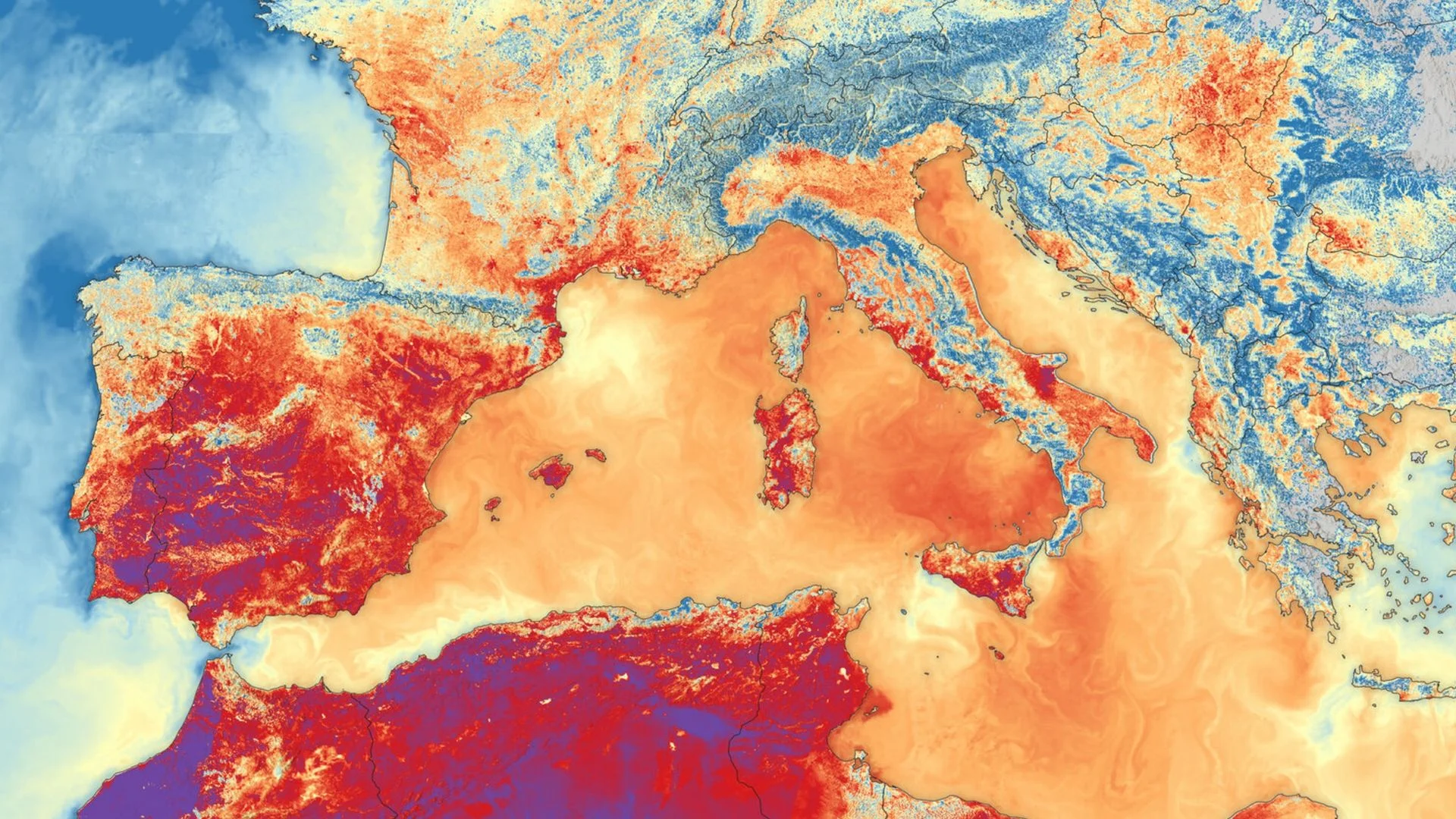
The value of ESA’s Sentinel-3B heat map is in what it shows together: extreme temperatures across Southern Europe and unusually warm water across the Mediterranean. For Simonetta Cheli, who leads the European Space Agency’s Earth observation programs, that view makes the scale of this summer’s heat easier to grasp—and shows how satellites can help track changes on the ground and at sea.
The image uses measurements from the Sea and Land Surface Temperature Radiometer (SLSTR) aboard Sentinel-3B. Cheli selected it for Earth from space after Live Science interviewed her at the European Space Research Institute (ESRIN) in Frascati, Italy. The visit also included a look at ESRIN’s newly operational Space HPC supercomputer and a broader conversation about Earth observation.
Sentinel-3B recorded the scene on June 23, 2026. Dark red areas indicate land surface temperatures above 95 degrees Fahrenheit (35 degrees Celsius) across much of Spain and parts of France and Italy. Dark purple patches mark readings above 104 F (40 C) in parts of Spain and North Africa. The Mediterranean also shows elevated sea surface temperatures.
The color scale needs care: land and sea colors don’t correspond to the same readings. Orange, for instance, represents about 86 F (30 C) on land and roughly 73 F (23 C) at sea. Even with that distinction, the combined view makes the heat’s reach clear. “You see the red in the sea, and you see the red on the land, and I think it gives the feeling of the heat wave that we've all been living through this summer,” Cheli said.
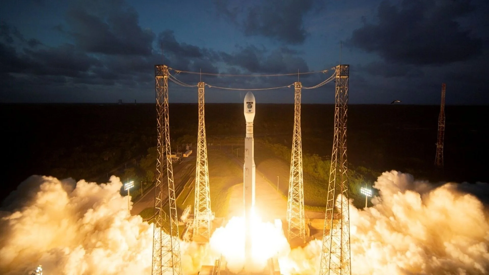
Cheli sees satellite imagery as a practical source of information amid the effects of human-caused climate change. “It makes me feel that we can do a lot about it,” she said. “It makes me feel that we have tools and certainly information capabilities to support, help and also raise awareness about this topic.”
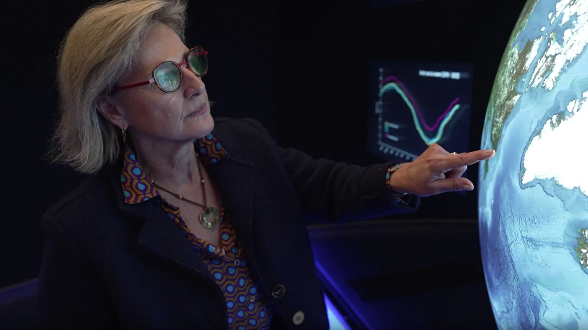
That capacity is set to grow. ESA launched Sentinel-3C in September as a successor to Sentinel-3B. The new spacecraft has already returned its first images of Earth and is intended to improve monitoring of future extreme weather. ESA announced the launch as part of a broader expansion of its Earth-observation capabilities.
Repeated heat waves set records across Europe
At least five heat waves affected parts of Europe from late May to mid-August, with unusually high temperatures persisting through the season. Cheli called it “the hottest summer ever.” Western Europe’s average temperature in June reached 69 F (20.7 C), the highest June average in the region’s recorded history, according to the World Meteorological Organization. That figure includes nights, when temperatures were lower.
Austria, Belarus, Czechia, Denmark, Germany, Hungary, Poland and Slovakia each recorded their highest land surface temperature on record at some point during the summer. Other countries set records for particular months or regions.
The heat contributed to widespread drought, some of which continued beyond the summer, and helped fuel wildfires, including major fires in France. Estimates cited by The Guardian put the number of excess deaths associated with the high temperatures at at least 35,000, with the actual toll expected to be higher.
ESA linked the heat waves to “heat domes”: high-pressure systems that hold warm air near the surface. Such conditions are also associated with higher sea surface temperatures, reinforcing the value of observing land and ocean together.
A super El Niño began in May and has been linked to record temperatures in the Pacific, but ESA said it did not cause Europe’s heat waves. The continent’s records fit a pattern of recent global warming, according to the agency. El Niño could still influence extreme weather this winter in Europe and North America.
For Cheli, the image’s significance is both scientific and immediate: it makes a widespread event visible in a single frame. As Sentinel-3C joins the monitoring effort, ESA will have another source of detailed observations for tracking how extreme heat affects land and sea.
More Earth from space
Earth from space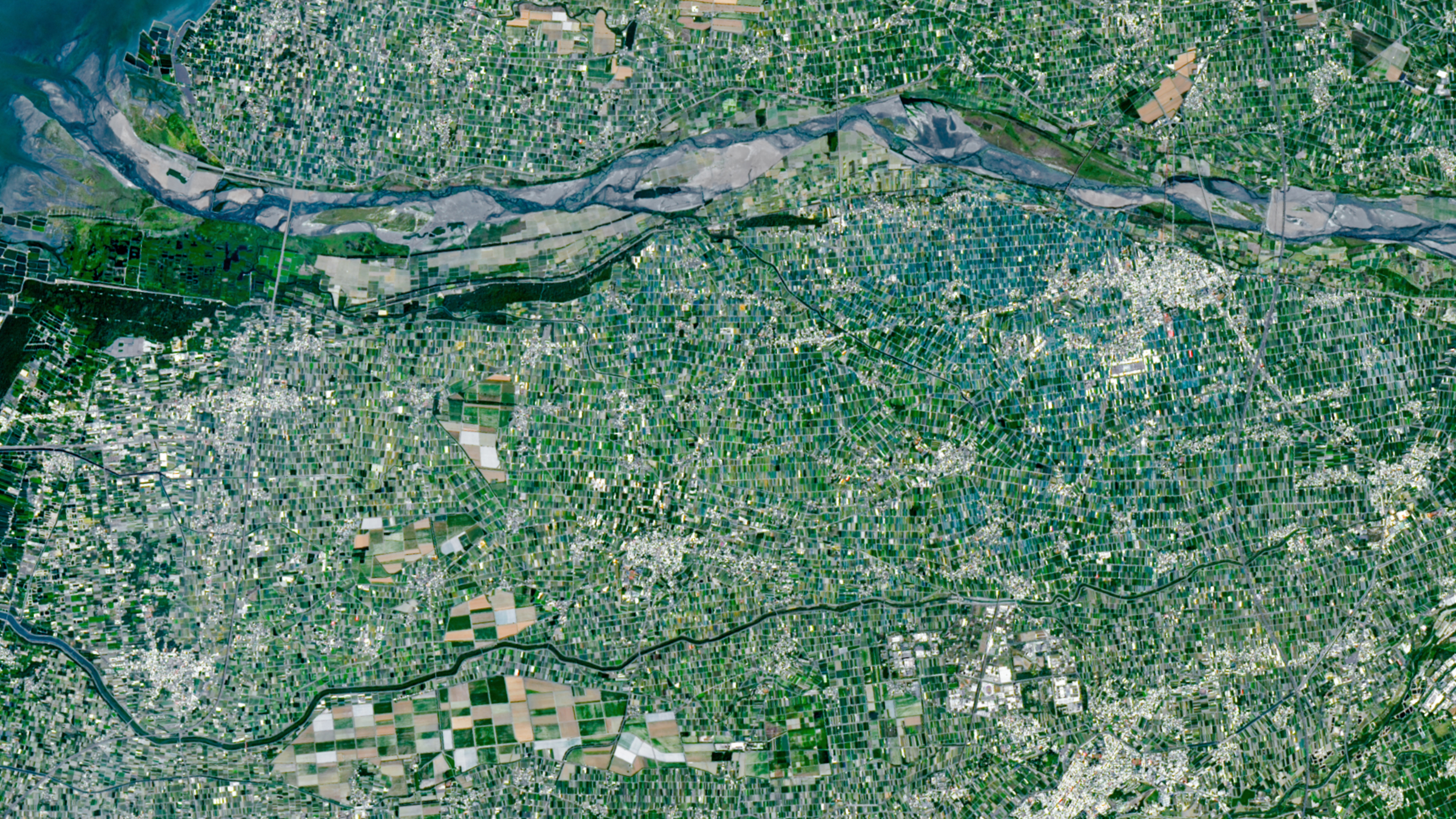
Multicolored agricultural 'mosaic'
A satellite photo shows a patchwork of farms around Taiwan’s Yunlin County, a major food-growing region.

Space Shuttle's final photobomb
An astronaut photograph from 2011 captured a space shuttle passing between Earth and the International Space Station for the final time.

Polar vortex paints picturesque plume
A satellite image shows sediment swirling off Florida after a cold snap brought snow to parts of the eastern United States.
Discussion
Sign in to join the discussion.