ESA now manages more than 20 Earth observation missions as political strains test climate cooperation and satellite growth raises collision concerns.
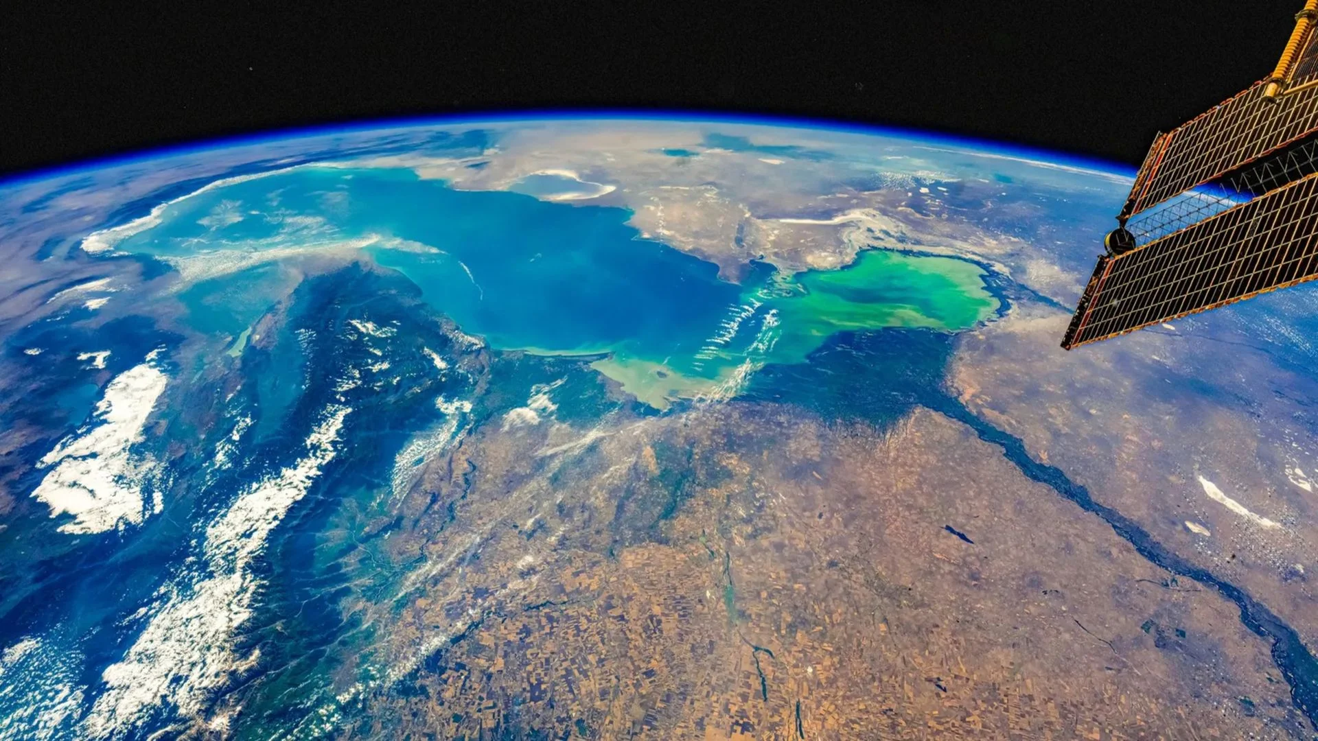
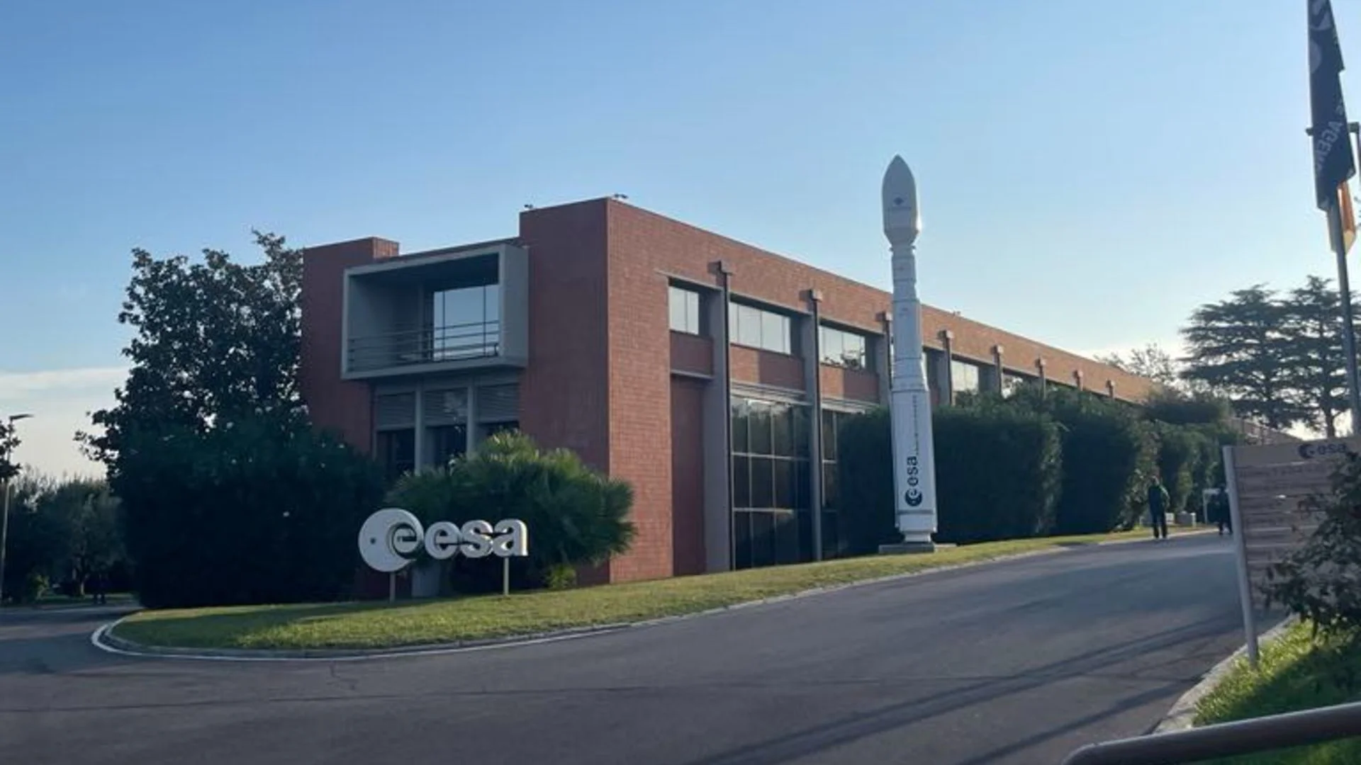
Earth observation has become both a practical climate tool and a test of international cooperation. The European Space Agency (ESA) now manages more than 20 missions from its Earth observation center in Frascati, Italy, while political strains have made some long-standing collaboration more delicate. At the same time, rising satellite traffic is forcing operators to manage more collision risks.
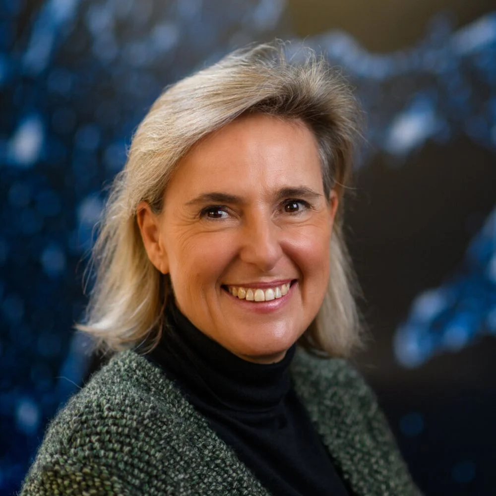
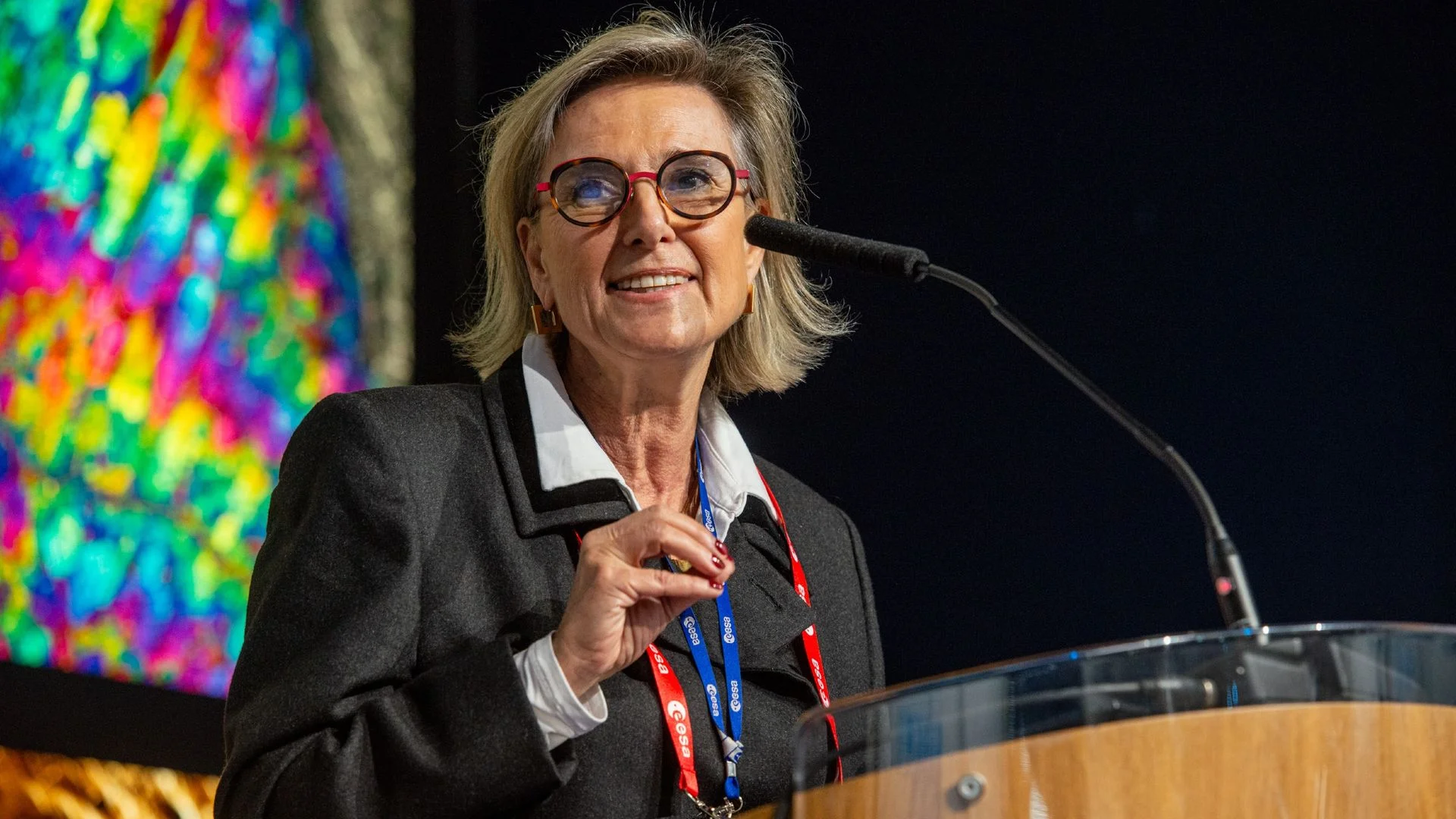
That’s the picture Simonetta Cheli, ESA’s director of Earth observation programmes and head of the European Space Research Institute (ESRIN), described in a recent interview at the center. She has worked at ESA since 1988 and has spent nearly four decades in the field.
From relying on partners to leading missions
When Cheli joined ESA, the agency depended on missions run by partners, including the United States and Japan. ESA launched its first Earth observation mission, ERS-1, in 1991. Today, the agency is planning more than 40 future missions alongside the more than 20 already managed at ESRIN.
Three missions launched in the weeks before the interview, each aimed at a different kind of observation: ocean processes connected to extreme weather, the fluorescence and health of vegetation, and temperatures on land and at sea. Cheli sees that breadth as evidence of how far Europe’s capabilities have grown. “Europe is now a leading power in this domain worldwide,” she said.
The case for maintaining that capacity is straightforward: satellites give researchers repeated, broad measurements of changing conditions on Earth. Cheli pointed to deforestation, air quality, ocean change and shrinking ice masses as examples of the information needed to assess the planet’s health. The observations can also help identify environmental stress, food insecurity and extreme weather impacts.
“We need to know today what is the state of our planet, if it's healthy or if it's in danger,” she said. “We need to be aware of what the situation is on Earth today, so we can preserve it tomorrow.”
Cooperation continues, with political strain
International coordination is built into ESA’s work, Cheli said. The agency’s 23 member countries work together, and its Earth observation teams also collaborate with commercial partners, the European Union and international partners including NASA, Brazil, India and African organizations.
Climate monitoring makes shared data especially valuable: changes in one region can have consequences well beyond it. Cheli used Greenland as an example, arguing that its changing ice sheet affects people around the world. The scientific need for cooperation remains, but the political context has shifted.
We used to go to the climate conferences together. We are not anymore.
Simonetta Cheli, ESA
Cheli said ESA and its American counterparts still have a productive working relationship, even as political collaboration has become more sensitive. She also said ESA was already ahead of the United States in some areas, including emissions data, before recent changes to NASA’s funding. In her view, those changes create a greater opportunity for Europe to contribute, while also making the value of existing technical ties more apparent.
IRIDE adds more capacity for European users
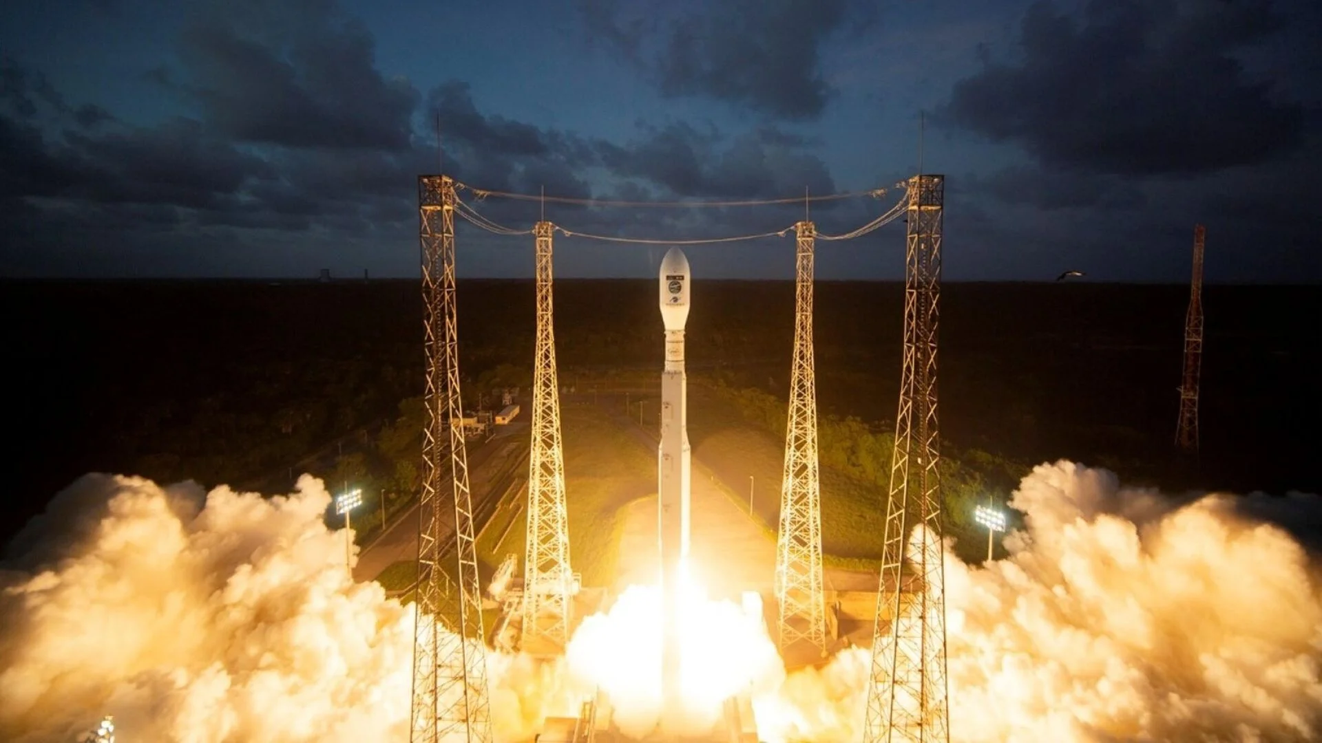
Italy’s IRIDE constellation is one part of that expanding system. ESA launched eight more satellites in the network on Oct. 1, bringing the number launched to 39 of 68 planned spacecraft. More launches were expected before the end of the year.
The constellation will collect data across optical and radar ranges, with applications that include civil protection, coastal erosion monitoring, coast guard operations and analysis of environmental stress. Cheli described IRIDE as a significant addition to Europe’s wider Earth observation capability.
The wider constellation effort sits alongside other recent launches, including Sentinel-3C, which measures land and sea temperatures. Together, such missions give researchers data at different scales and frequencies, helping them monitor both gradual shifts and acute events.
More satellites mean more collision avoidance
The growth of commercial satellite fleets presents a direct operational challenge. Cheli said ESA is seeing more collision avoidance maneuvers, with satellite operators sometimes needing to move spacecraft when another object poses a risk. The frequency of those interventions has risen over the past four or five years as the number of satellites in orbit has grown.
For now, technical coordination among operators is working, she said. But Cheli argued that private satellite companies need to take part in a shared framework for managing traffic. Space agencies alone can’t address the issue when commercial fleets are a growing part of the orbital environment.
ESA also has to account for the environmental footprint of its own work. Cheli said the agency is pursuing a debris policy and designing satellites with enough propellant to support assisted re-entry at the end of their operational lives. ESA’s launch partners in French Guiana are also working to reduce the environmental impact of launch operations.
Computing capacity turns data into usable evidence
Collecting more observations only helps if researchers can process and preserve them. The Copernicus programme alone receives 500 terabytes of data each day, Cheli said. ESRIN also maintains archived observations from completed missions and international partners, including organizations in Japan, India and the United States.
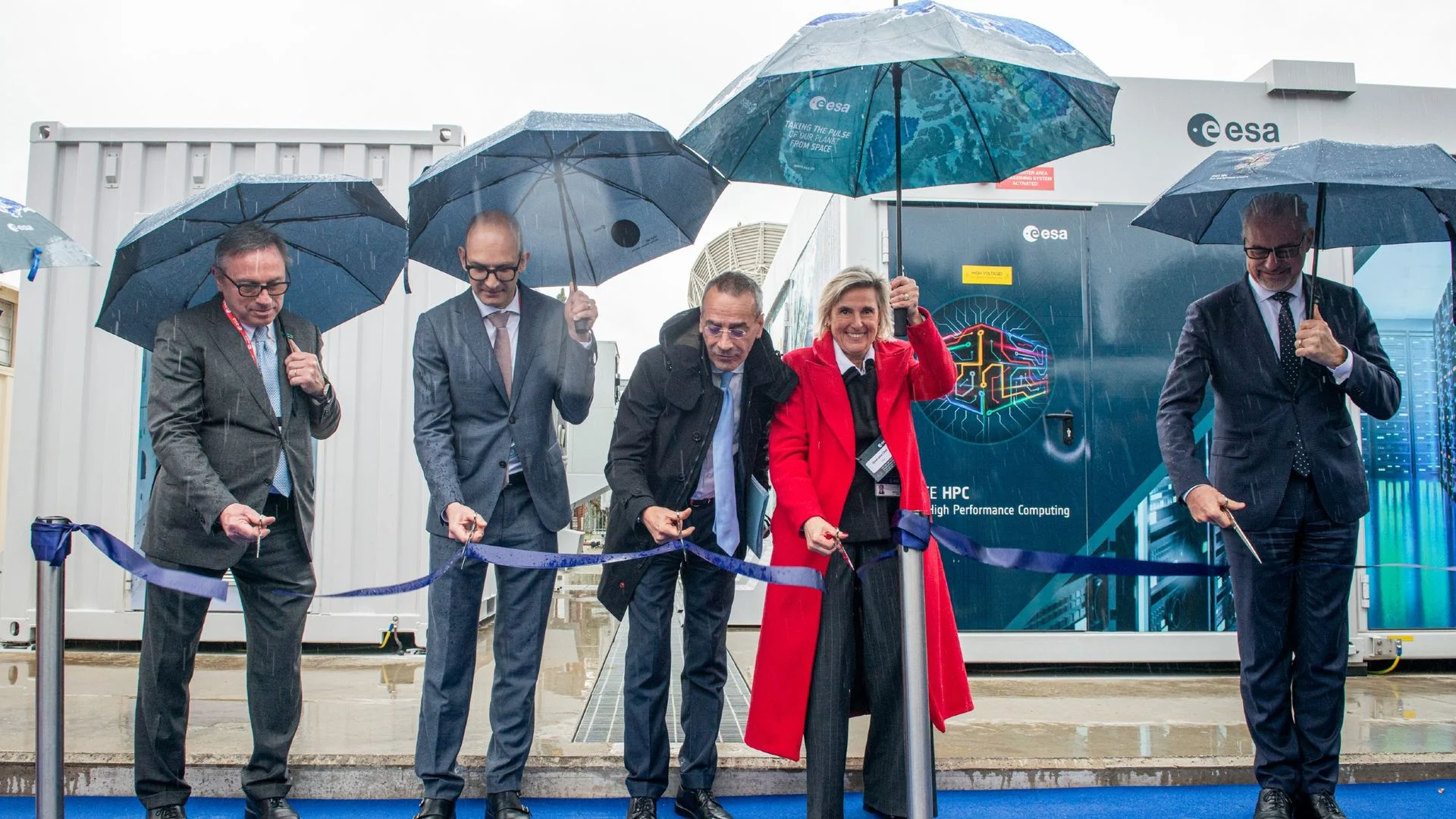
That archive matters because measurements from past missions allow scientists to compare current conditions with earlier ones. ESRIN’s newly operational Space HPC supercomputer is intended to process large datasets faster, giving researchers more capacity to work with the growing flow of satellite information.
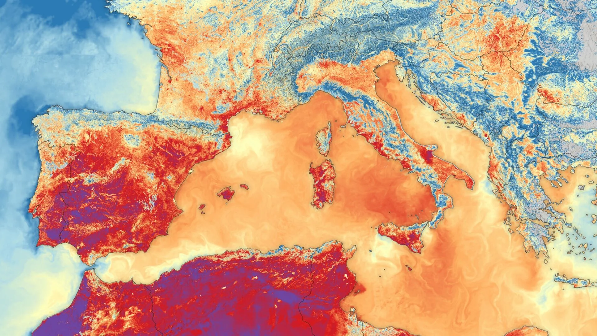
Cheli’s example of the value of those observations was a thermal image of Europe’s heatwaves, captured by Sentinel-3B. The view showed high temperatures over both land and sea across southern Europe. She said the image reflected the exceptional heat people had experienced that summer, and that seeing it made her feel that better information could support public awareness and responses.
Her read is that Earth observation’s value now depends on more than the satellites themselves. Europe has built substantial mission capacity, but reliable monitoring also requires international data sharing, coordination among public and private operators, and computing resources able to turn enormous archives into timely evidence.
Discussion
Sign in to join the discussion.