GNSS measurements show polar ice melt is lifting the poles and shrinking Earth’s solid equatorial bulge, while ocean shifts make the planet flatter overall.
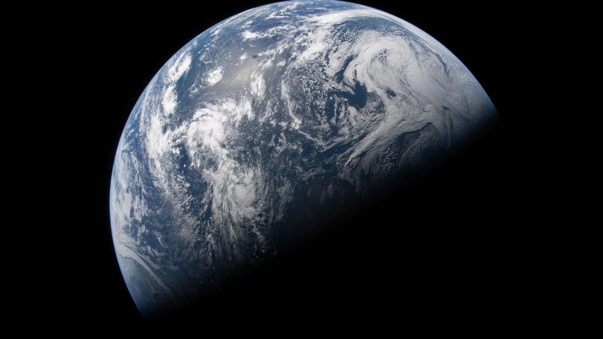
Measurements of Earth’s solid surface show a faster shift toward a rounder shape, offering another way to track the effects of polar ice loss. Between 2011 and 2015, the poles rose and the equatorial bulge in the crust shrank by about 1 millimeter (0.04 inch) per year, according to a study published Sept. 9 in JGR Solid Earth. The finding describes a change in the rock beneath our feet, not a visible alteration to Earth’s outline. Its value is as a measurement of how the planet responds when water and ice shift from one region to another.
That rate was twice the roughly 0.5 mm (0.02 inch) per year recorded from 1997 to 2000. The study estimates the rate of rounding has increased by 0.4 mm (0.016 inch) per year with each passing decade. Those comparisons point to acceleration across the periods examined, though the measurements remain small and describe particular intervals. The changes are tiny compared with Earth’s equatorial diameter of about 12,756 kilometers (7,926 miles), but they reveal how mass shifts affect the planet’s shape. This is more significant than it looks: small movements can provide a sensitive record of processes that are difficult to observe directly across the whole planet.
Satellite measurements capture changes in the crust
Christoforos Kotsakis, a geodesy professor at Aristotle University of Thessaloniki in Greece, developed a method to analyze data from the global navigation satellite system (GNSS). These direct measurements track movement at stations on Earth’s surface, allowing researchers to compare changes across locations over time. That makes GNSS useful for studying slow deformation, where the signal may be only a fraction of a millimeter each year. The method still depends on where stations exist, and the record is uneven.
Coverage is sparse near the poles and across remote oceans, where instruments need to be placed on buoys. That gap matters because the study is concerned with mass changes concentrated in polar regions and their effects across the planet. A network of land stations can capture movement at monitored sites, but it cannot provide uniform coverage everywhere. If you're working in this space, the distinction between a precise local measurement and a complete global picture is important.
Earth already bulges around the equator because its rotation flattens the poles. As polar ice melts, the load on the crust eases and the ground slowly rebounds, much like dough rising after a finger presses into it. At the same time, added mass near the equator presses down on the crust, reducing its bulge. These are related effects of redistribution, but they act in different places and through different parts of the Earth system. The analogy helps explain the rebound; the actual pattern is spread across a planet with varied geology and uneven measurement coverage.
Ocean water changes the planet’s overall shape
The solid surface tells only part of the story. When the ocean is included, Earth is becoming flatter by about 0.8 mm (0.03 inch) per year: water shifting away from the poles is making the ocean bulge more at the equator, outweighing the rounding measured in the rock below. In other words, the shape of the solid Earth and the shape of the combined Earth and ocean can move in different directions. That distinction is easy to miss if “Earth’s shape” is treated as one measurement.
These mass shifts are also linked to a slowdown in Earth’s rotation, as other research has reported. Scientists track the planet’s changing form through gravity measurements as well as GNSS. Kotsakis found that the two records don’t align perfectly, suggesting surface shape and gravity do not change in lockstep. Gravity and surface motion respond to mass redistribution in different ways, so disagreement between the records can itself help researchers understand what is changing. And this is the part most people overlook: no single measurement captures the whole process.
What the measurements can tell us
Used together, GNSS and gravity records can help reveal the effects of Greenland and Antarctic ice loss and changing ocean water—a useful view of how climate change is altering both the crust and the planet’s mass distribution. The measurements don’t replace direct observations of ice or sea level; they add another way to trace where mass is moving and how the solid planet responds. The approach is especially useful because it connects regional changes, such as ice loss, to a planetary-scale signal.
That said, the study’s reported rates should be read in context: they describe changes estimated over specific periods, and the sparse coverage noted by the researchers limits what surface stations alone can observe. The broader implication is still clear. Earth’s shape is not fixed, and tracking its subtle shifts can help scientists test how well different observations explain the same redistribution of water and ice. A fraction of a millimeter at a time.
Discussion
Sign in to join the discussion.