A 2016 satellite image caught two Category 4 hurricanes closing in on Hawaii. Neither made landfall, though both brought damaging weather.
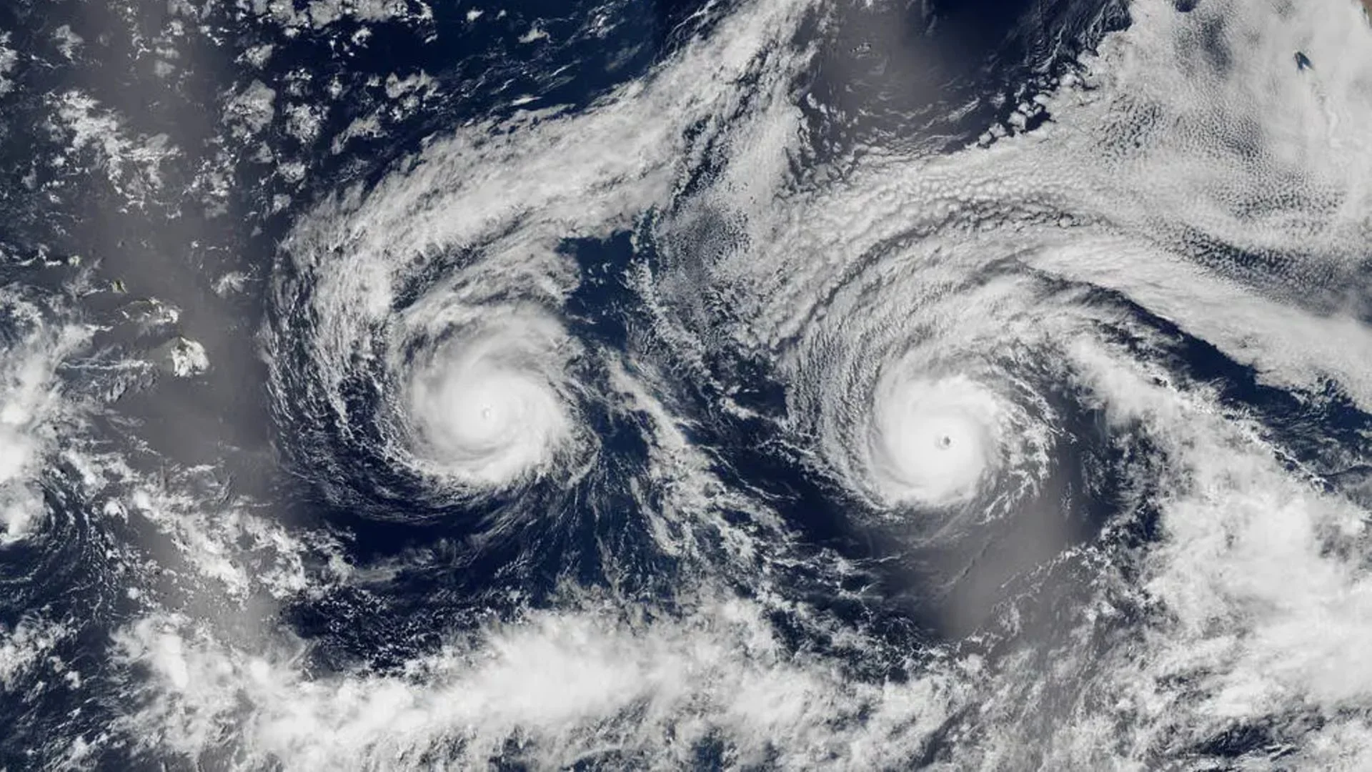
A satellite image of Hurricane Madeline and Hurricane Lester shows more than an uncanny face in the clouds: it captures two powerful storms approaching Hawaii at nearly the same time. Neither hurricane made landfall, but both came close enough to bring high winds, heavy rain and rough surf to the islands.
Where is it? Pacific Ocean
What's in the photo? Hurricane Madeline (left) and Hurricane Lester (right)
Which satellite took the photo? Suomi NPP
When was it taken? Aug. 29, 2016
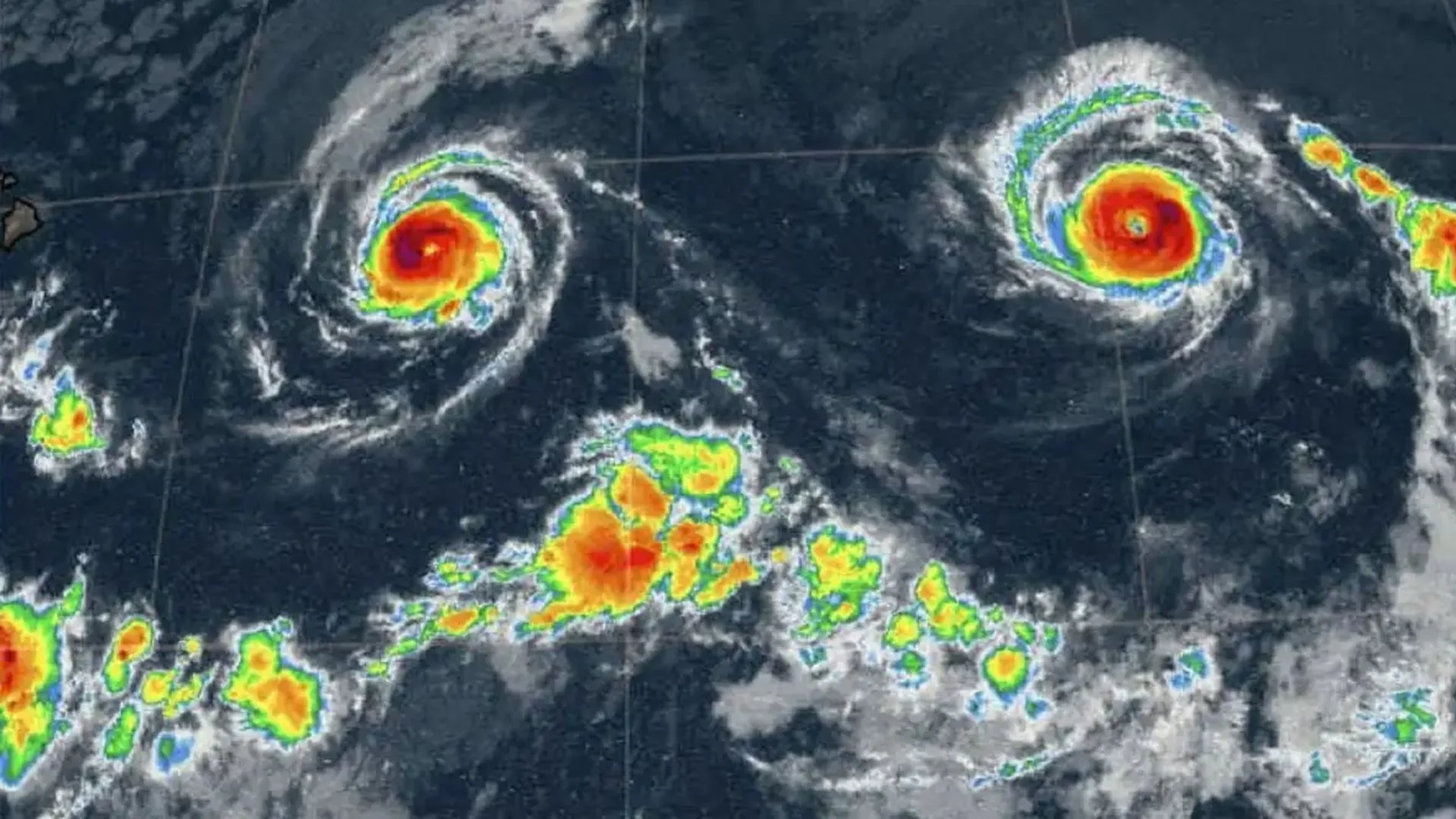
Captured by the Suomi NPP satellite on Aug. 29, 2016, the view shows Madeline on the left and Lester on the right. Their broad cloud bands and distinct centers give the pair the look of eyes staring into space. A radar-based weather map makes the resemblance even more pronounced.
The storms were the 14th and 13th named systems, respectively, in the 2016 Pacific hurricane season, which produced 22 named storms and tied for the sixth-most-active season on record. Madeline reached Category 4 on Aug. 30, with peak winds of about 130 mph (210 km/h). Lester also briefly reached Category 4, on Sept. 1, with winds just below Madeline's peak before weakening to Category 3.
Two close approaches, no landfall
The day after the satellite image, Madeline was less than 400 miles (650 kilometers) from Hawaii's Big Island. Lester trailed about 900 miles (1,450 km) behind, following a similar path, according to NASA's Earth Observatory. Forecasters were still unsure whether either storm would reach the island.
The Central Pacific Hurricane Center later issued a hurricane warning for Hawaii, with Madeline expected to pass "dangerously close to the Big Island," NASA's Earth Observatory reported. Madeline passed south of Hawaii on Aug. 31, by then weakened to Category 1. Lester passed north of the Big Island on Sept. 2, coming within about 130 miles (210 km) of Honolulu before turning sharply north and dissipating.
Neither storm's eye crossed land, so neither made landfall. That distinction didn't spare the state from their effects: both brought strong winds, heavy rainfall and powerful surf. In the satellite image, the Big Island is hidden beneath sunglint, sunlight reflected off the ocean on the image's left side.
Why Hawaii often avoids the worst
Hawaii sits within the broad region where many Pacific hurricanes form, yet storms often pass around the islands. A persistent zone of high pressure east of Hawaii can steer approaching systems away, while strong winds blowing eastward across the islands also shape their paths, according to FOX Weather.
That pattern can reduce the odds of a direct hit, but close passes still matter. In 2025, Hurricane Kiko was seen from space approaching Hawaii before changing course and weakening. Hurricanes Lowell and Lala later skimmed unusually close to Kauai, damaging power lines, boats and other coastal infrastructure.
Researchers have pointed to the ongoing "super" El Niño as one possible factor behind those storms. The event began in May and has coincided with record-high Pacific sea surface temperatures, according to The Guardian. Meanwhile, researchers have linked the rise in extreme weather to human-caused climate change and are tracking shifts in regional weather patterns. The 2016 image is a vivid reminder that a storm can miss the islands and still deliver a serious hit.
See more Earth from space
'Dark voids' over Antarctica
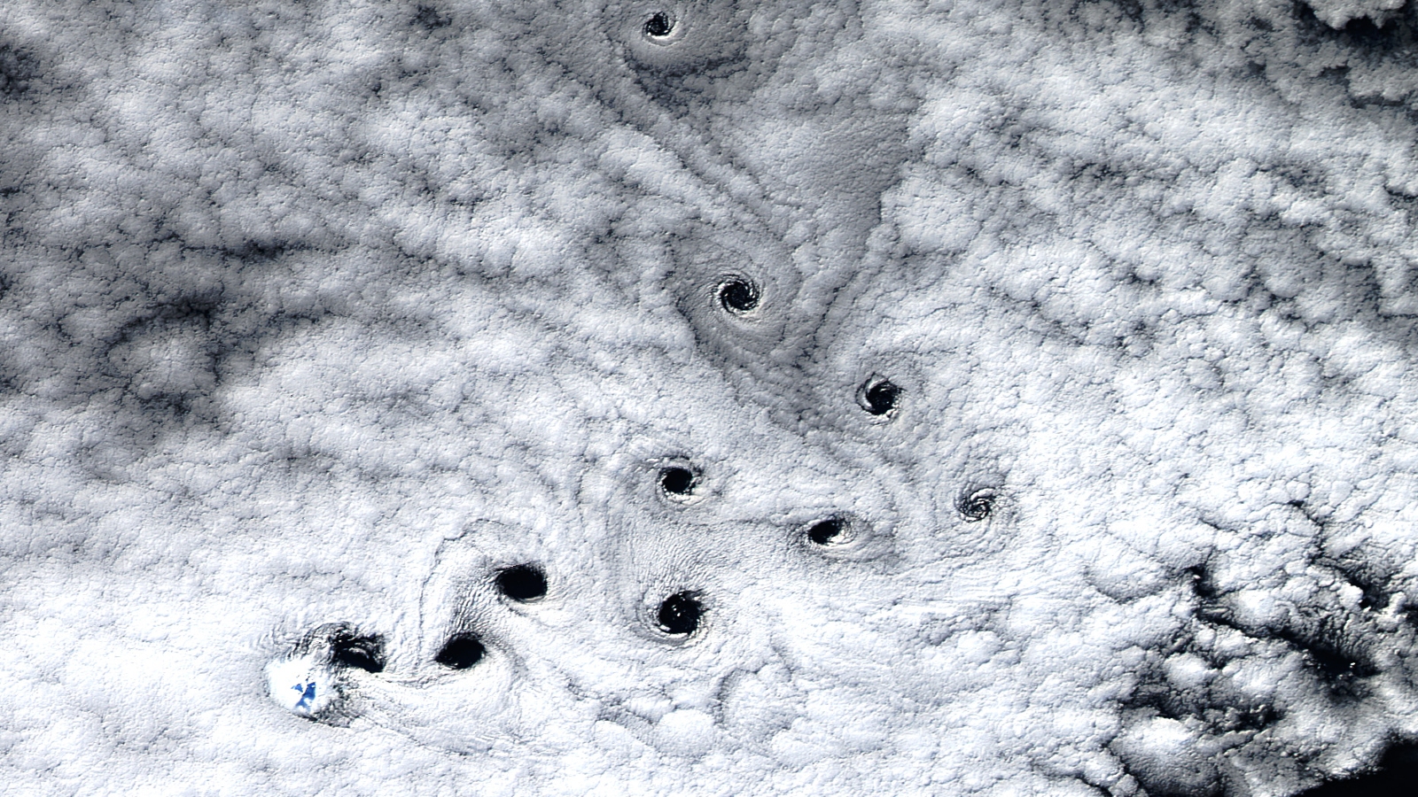
A 2016 satellite photo shows nearly a dozen, surprisingly pronounced dark spots swirling in the clouds over Heard Island in the Indian Ocean.
Rare volcanic 'Bull's-eye' cloud
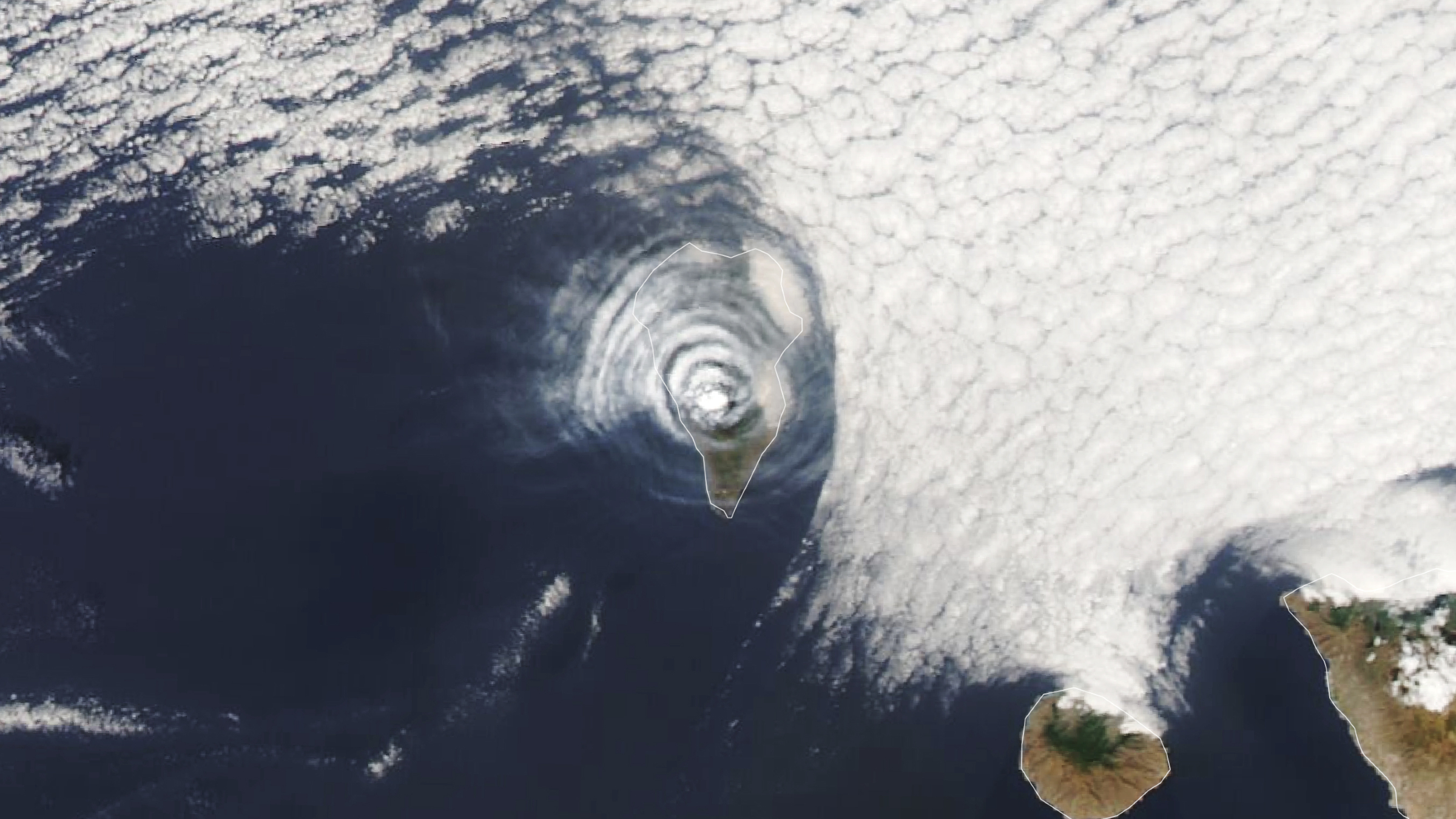
A 2021 satellite photo shows an unusual series of concentric cloud rings that appeared directly above an erupting volcano on La Palma in Spain's Canary Islands.
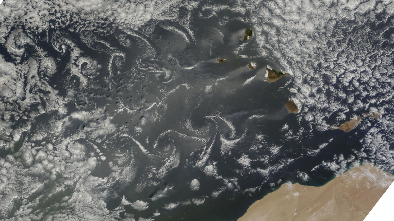
Swirling Atlantic cloud trails
A 2015 satellite photo captured a series of stunning "von Kármán vortices" swirling off islands in the Atlantic. It is one of the best examples of this meteorological phenomenon ever seen.
Discussion
Sign in to join the discussion.